 TWV640 Thermal Camera Core
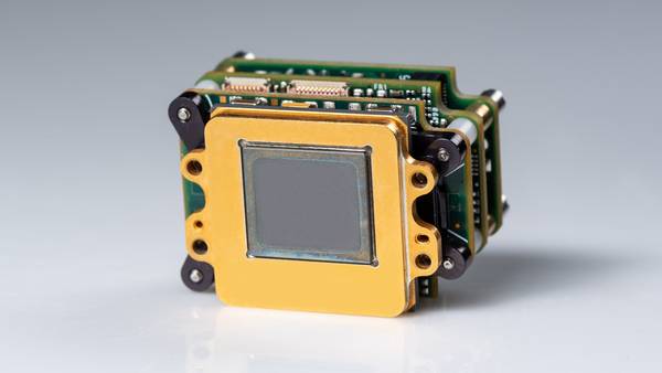
The newly upgraded TWV640 thermal camera core, using the Athena™ 640 focal plane, captures clear, complete, low-noise images through darkness, dust, smoke, and fog. Improved features include...
Promoted Content March 2024 Issue